
Looking Up Your Denver Neighbors
Nearby households are best understood through a block evidence chain. Start with a known address, select the parcel, then read surrounding parcels and civic boundaries. Each source answers a different question. The parcel map shows shape. The property record shows owner and mailing fields. CountyFusion shows recorded parties. Accela shows address-keyed city records. A voter extract can show public registration fields when properly requested, while a criss-cross directory can show historical householders.
| Source | What it shows about a block | Access |
|---|---|---|
| Denver parcel GIS | Adjacent geometry, SCHEDNUM, situs, owner, class and legal description | Free map or ArcGIS query |
| Property assessment portal | Owner, mailing, value, neighborhood, tax district and building fields | Free address or parcel search |
| CountyFusion | Recorded parties and instruments touching each parcel | Guest path; certified copy rules |
| Denver Accela | Address, parcel, permit, case and attachment metadata | Free search; account may matter for payment |
| Public voter data | Public name, address, party/date, birth year and prior-vote fields | State or county request; protected records withheld |
| Registered neighborhood organizations | Boundary, contact, website, status and member-count metadata | Free current civic GIS layer |
| DPL criss-cross and maps | Historical householders, block footprints and street context | Library, microfilm or digital access |
An owner field is not proof that the owner lives at the situs. A public organization contact is not a membership list. A nearby polygon may be vacant land, a right-of-way, a shared common element or a business parcel. The Denver neighbor workflow keeps those distinctions visible.
Click Denver's Neighboring Parcels
The public Denver map did not expose a radius or buffer control. The documented neighbor method is manual. Search the known address, zoom to the selected parcel, turn on Parcel Layer and Street Names, then click surrounding polygons one at a time. Save SCHEDNUM, situs, owner, mailing address, class, zoning and legal description for each parcel before moving to the next.
The Denver parcel ArcGIS layer provides the official geometry and field bridge.
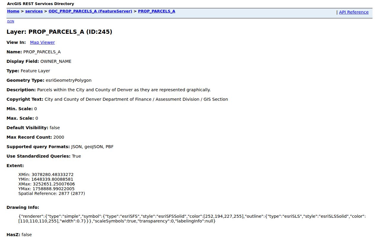
The parcel-layer capture shows why a block lookup starts with polygons and identifiers, not guessed names.
- Open the known address in the Denver property map and save the parcel schedule number.
- Turn on parcel, street-name, neighborhood, zoning and county-boundary layers.
- Click every touching polygon and record its SCHEDNUM, situs, owner, mailing field and class.
- Open each schedule number in the property record, then use CountyFusion for recorded parties and Accela for address records.
- Keep a separate note for common elements, public parcels, vacant land and nonresidential records.
For more than one block, an official geometry query can reproduce an intersection, but the public human workflow remains click by click.
When Denver's Neighbor Is a Common Element
The research sample is a useful warning. ArcGIS feature OBJECTID 984741 and SCHEDNUM 0003100118000 show ALTARIA AT HIGH POINT COMMUNITY ASSOCIATION INC. The owner mailing address is in Westminster, the situs is 6663 N Ceylon St., Denver, and the class is vacant land or general common elements. Total units are zero, and the legal description names a tract within High Point.
That parcel can sit beside a home on the map. It belongs in the block record because it is a real polygon with a public owner and legal description. It should not be added to a list of private households. The class, owner type and legal description explain what the neighboring polygon is.
- Adjacent parcel
- A mapped parcel that touches or sits beside the selected parcel; it may not be a dwelling.
- Common element
- Shared land or facility associated with an organized property development, not a single household.
- Owner mailing field
- The correspondence destination stored with the parcel, which may be outside Denver.
- Block context
- Map, zoning, street and parcel information around an address, not a person roster.
The Denver Maps catalog is the broader entry to property, addressing, neighborhood and zoning layers.
The maps capture reinforces that a neighboring feature can be a geography record rather than a household record.
Denver Neighbor Layers That Explain a Block
Parcel boundaries are only one layer. The Denver Assessor Maps configuration lists County Boundary, Parcel Layer, FEMA Floodplains, Enterprise Zones, Neighborhoods, Zoning and Denver Street Names, with OpenStreetMap and Nearmap aerial base maps. A layer can explain why a parcel is shaped a certain way or why a road appears to cut across a block.
The Denver neighborhood map page connects the public map catalog to neighborhood-oriented entries.
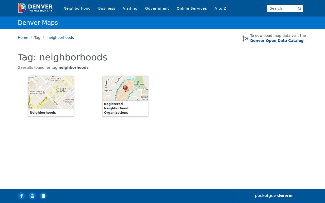
The neighborhood map image supplies civic geography without implying that a boundary is a member directory.
Accela can search street number, direction, street name, type, unit, parcel, city, state and ZIP. Its record-created date is not necessarily an issue or completion date. CountyFusion can connect a parcel to recorded parties. Use these layers to explain the block's public record structure, then stop where the source stops.
Denver's Registered Neighborhood Organizations
Denver's Registered Neighborhood Organization layer is unusually useful civic geography. The active-status query in the research returned 172 features on August 18, 2026. Each organization re-registers annually, and inactive organizations are excluded from the official database after January 31. Fields include RNO number, organization name, directional boundaries, contact name, mailing address, city, state, ZIP, email, phone, website, edit date, status and member count.
The Denver RNO ArcGIS layer should be treated as current civic metadata, not a private membership source.
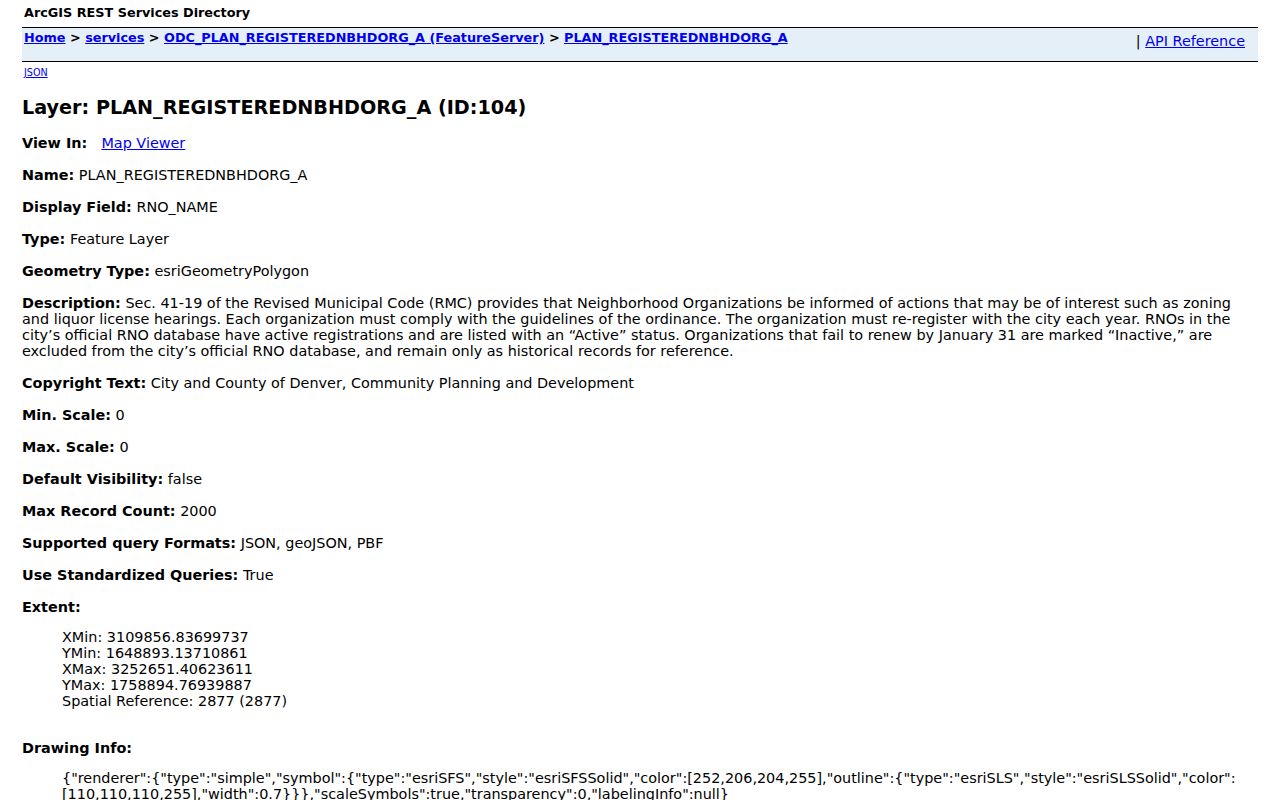
The RNO capture shows the public organization and boundary fields available around a Denver block.
Alamo Placita Neighbors Association
Active RNO feature
Boundary and website fields
720-470-1485
Capitol Hill United Neighborhoods
Named in the active layer sample
Public organization metadata
Recheck current layer
Central Park United Neighbors
Named in the active layer sample
Public organization metadata
Recheck current layer
Read Denver's RNO Boundary for Neighbors
The Alamo Placita sample demonstrates how an RNO record can answer “which civic organization covers this parcel?” without naming every neighbor. The feature lists north boundaries along 6th Avenue from Penn to Pearl and 7th Avenue from Pearl to Downing, south and west boundaries along Speer Boulevard, and an east boundary at the alley between Downing and Marion. It lists Patrick Williams as contact, 532 N Emerson St., Denver CO 80218, info@alamoplacita.org, a website, active status, 187 members and a 2026 edit date.
Those public fields are mutable. Boundary text and member counts should be rechecked before use. The layer can route a resident toward a meeting or public contact, but no official private member directory was located. A Denver neighbor lookup should not turn the contact record into a list of households.
Denver Voter Data: No Neighbor Roster
Colorado public voter rules allow a defined field set: full name, residential address, party and affiliation date, provided phone, provided gender identity, birth year and prior-voted indicator. Confidential fields include Social Security number, driver's-license number, full birth date, signature and email. The self-lookup portal is for an individual's status, while a county staff lookup form is for authorized election work and restricts disclosure.
A county-specific public block list should not be implied. A voter may use Denver's confidentiality process or Colorado's Address Confidentiality Program, and a registration address can be older than the current address. Court, vital, DMV, utility, delivery and private association data are not block rosters.
For civic context, the Denver Legistar People directory exposes public official names, email and web fields. It verifies a public civic role, not a residence.
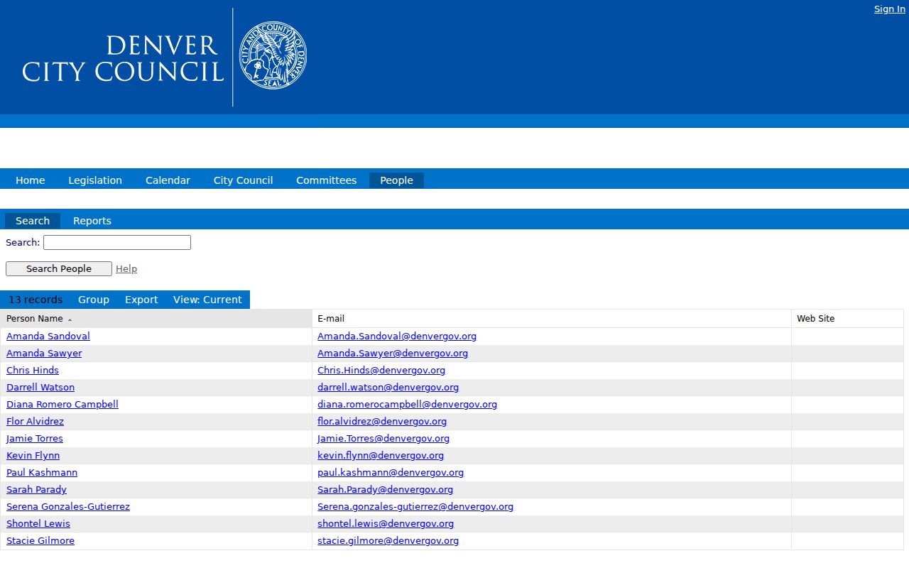
The civic directory capture makes the role-versus-residence distinction concrete.
Denver Official Rolls Versus Broad Neighbor Tools
Official records are narrow but traceable. Broad commercial neighbor tools may combine republished public records, uncertain matches and stale addresses. They can be a prompt for a source check, not an authority. Use a named custodian for the fact and preserve the date and identifier.
| Source | Useful signal | What it cannot establish |
|---|---|---|
| Parcel GIS and property card | Adjacent parcel, owner, situs, mailing and legal description | Every person who occupies or visits |
| CountyFusion | Recorded party, instrument and reception date | Current presence at the street |
| Public voter data | Dated registration address and public fields | Full household or protected address |
| RNO layer | Civic boundary and public contact | Private member names or household list |
| Broad commercial category | Possible lead across republished data | Custodian-level accuracy or current status |
The comparison keeps the Denver neighbor question grounded in sources that can be checked and corrected.
Denver Local History Helps Read a Block
Denver Public Library's A-Z index brings together directories, maps, the General Index, Horan Burial Index 1900-1956, Riverside burial indexes, Rogers and Nash mortuary records from 1873-1979, the Trail Index and neighborhood resources. These collections can explain a former street name, an address change or a community memory without pretending to list current nearby households.
The Auraria Residents StoryMap covers 1956-1974, while guides for Curtis Park and Elyria-Swansea connect streets, maps and neighborhood history. Mapping material can reveal why a current block does not look like a printed directory page. A historical source is strongest when paired with the parcel's legal description and a dated map.
The Denver Public Library local-history index is the appropriate fallback for a block question that is historical rather than current.
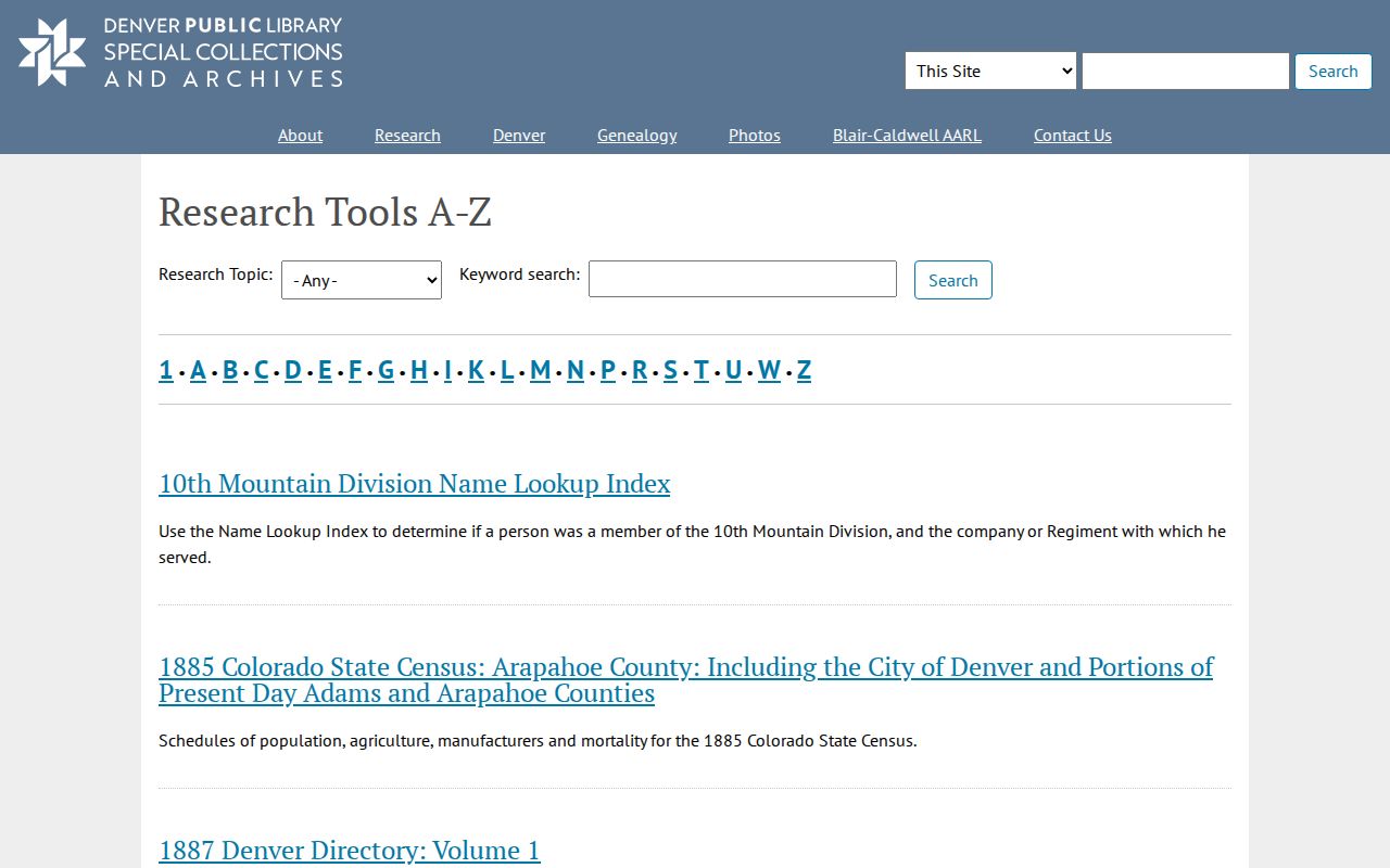
The local-history capture shows how burial, obituary, map and neighborhood sources can supplement a parcel trail.
Privacy Limits on Denver Neighbors
A Denver neighbor lookup cannot show every household member, utility or delivery customer, DMV address, protected voter, ACP participant or private association member. The assessor may show an owner and mailing field. GIS may show a common element. A voter extract may omit a protected entry. A court or vital file may be sealed or eligibility-gated. The absence of a name can reflect a rule, not a blank block.
If safety is involved, use the Colorado Address Confidentiality Program or Denver voter-record confidentiality route before circulating an address. For an ordinary record problem, contact the custodian with the parcel, reception, case or RNO identifier. CORA can seek an existing releasable municipal record, but it cannot override confidentiality statutes.
Lawful use. Block research supports civic connection, family history, personal safety awareness and understanding a block. Do not use parcel or public-record information to stalk, harass, intimidate or harm anyone.
For a whole named street, move to the address chain in the Denver street directory. The neighbor lookup stays focused on the immediate block and public civic layer.