
Follow a Denver Street Address
A useful address walkthrough moves from a location to a set of identifiers. Start with the exact street string. The Denver Property Record Search accepts Address or Parcel Number, and the parcel result supplies a Schedule Number, owner field, mailing address, legal description, neighborhood and tax district. The physical parcel is the situs. The owner mailing field may point away from the street.
From the parcel, move to the document and historical layers. A recorded party is not automatically a current occupant, and a directory householder is not automatically a title holder. Keep the role and date next to each name. For a whole block, use the GIS map to click each polygon. For a named street, preserve the parcel list before comparing deed, permit, voter or directory data.
- Enter the street address or schedule number in the Denver property map and save the exact result fields.
- Open the parcel map, turn on street names and parcel layers, and record each neighboring SCHEDNUM or PARID.
- Search CountyFusion by the printed owner or grantor/grantee name, then save reception number, instrument type and date.
- Search Denver Accela by street components, parcel or ZIP when a permit or address case fits the question.
- Use the public voter-file request route or a historical criss-cross volume only for its stated field and date range.
This process gives the address search a traceable spine. It does not create a list of every person who uses a street.
Denver Street Records, Parcel by Parcel
Address-keyed records overlap, but they do not have the same evidentiary weight. The assessor answers a parcel question. GIS adds geometry and layers. CountyFusion answers a recorded-instrument question. Accela answers a city record question. A voter extract is a dated registration signal. A DPL criss-cross entry is a historical publication snapshot. The table keeps those roles visible.
| Record set | Address key or fields | What it contributes | Coverage and access |
|---|---|---|---|
| Denver Property Record Search | Address autocomplete or parcel/schedule number | Situs, owner, mailing, legal description and assessment fields | Live free portal; historical start not stated |
| Denver parcel GIS | Geometry, SCHEDNUM, PARID, situs and owner fields | Parcel shapes, adjacent polygons, zoning and map context | Free current ArcGIS layer |
| CountyFusion | Party name, grantor/grantee, reception, document type and date | Deed chain, liens, releases, plats and other instruments | Guest path; Auditor reports 1859-present |
| Denver Accela | Street parts, parcel, city, state and ZIP | Permit, business, occupational and public-health records | Free search; record-created date applies |
| Public voter data | Residential address and public name fields | Dated registration signal | Request route; protected entries withheld |
| DPL criss-cross | Printed address and householder by year | Historical address-to-name snapshot | 1924-2018 holdings described; access varies |
| Sanborn and plat maps | Street, lot, block, footprint and map year | Physical address continuity and building context | Historical library and LOC collections |
The access-channel sweep matters here. Online search is only one route. Denver's public-help counters, 311 and listed office phones can clarify fields. CountyFusion has a reception-based missing-image route. DPL accepts focused research requests, State Archives uses finding aids and reading-room requests, and CORA can seek existing releasable records when an online index does not answer the question.
Denver Street Property Search Fields
The live property interface makes Address and Parcel Number the two practical entry points. The owner-name path documented in the Clerk and Recorder one-page guide belongs to CountyFusion, not the live initial property configuration. Search the street in several normalized forms, including directional terms and street type, then preserve the exact schedule number with leading zeroes.
The Denver property map entry connects the official map catalog to the live search interface.
The property-map capture shows the address-first starting point for a Denver address search.
| Address | Text or autocomplete input; use the physical situs address. |
|---|---|
| Parcel Number | Text or autocomplete input; the result calls the identifier Schedule Number. |
| Owner(s) | Read-only result or header field; not a live initial input in the inspected configuration. |
| Situs address | Read-only physical location used for street grouping. |
| OwnerFullAddress | Read-only mailing destination, which may differ from Denver. |
| ZIPBASE | Result/header field; no ZIP-wide filter was exposed. |
| Legal Description | Subdivision, block, lot or other parcel description for older records. |
| Download | Inspected configuration listed limits of 600 for a list and 500 for Excel. |
Information is updated daily, but the portal warns that tax-lien calculations and early-year roll finalization can change what is displayed. A value, sale date or year-built field is assessment context, not a statement about who occupies the parcel.
Denver Street Situs and Mailing Address Differ
Situs is the parcel's physical place. OwnerFullAddress is where tax or assessment correspondence goes. A street directory that merges them can send a researcher to the wrong street or treat an out-of-county mailing city as a neighbor. The sample parcel record in the research makes this plain: an association-owned common-element parcel had a Westminster mailing address and a Denver situs address.
- Parcel
- A mapped unit of land with a schedule number, legal description and assessment record.
- Situs address
- The physical address assigned to the parcel, used for map and street grouping.
- Mailing address
- The correspondence address for an owner or tax notice, not an occupancy signal.
- Plat
- A recorded map that shows lots, blocks, streets or common elements.
- Criss-cross directory
- A historical reverse directory arranged by address or householder rather than only by surname.
The Denver Assessor ownership FAQ names owner, mailing address, legal description and property characteristics as public information and points older chain material toward Denver Public Library.
The assessor reference capture supports the distinction between a parcel record and a full resident record.
Browse Denver Street GIS Parcel Layers
The Denver Assessor Maps configuration lists County Boundary, Parcel Layer, FEMA Floodplains, Enterprise Zones, Neighborhoods, Zoning and Denver Street Names. OpenStreetMap and Nearmap aerial layers provide base context. A human street search is manual: zoom to a segment, click parcels one by one, save each SCHEDNUM, then open the property result.
The assessor-map capture shows the layer-based view used to place a street inside Denver's parcel geography.
The Colorado open-data parcel map provides another official catalog path, while the direct ArcGIS parcel service exposes owner, situs, class, zoning, area, legal-description and geometry fields. The public map did not expose a radius or buffer control. For a larger street segment, manually trace the cross streets or use an official geometry query without calling the result a complete resident list.
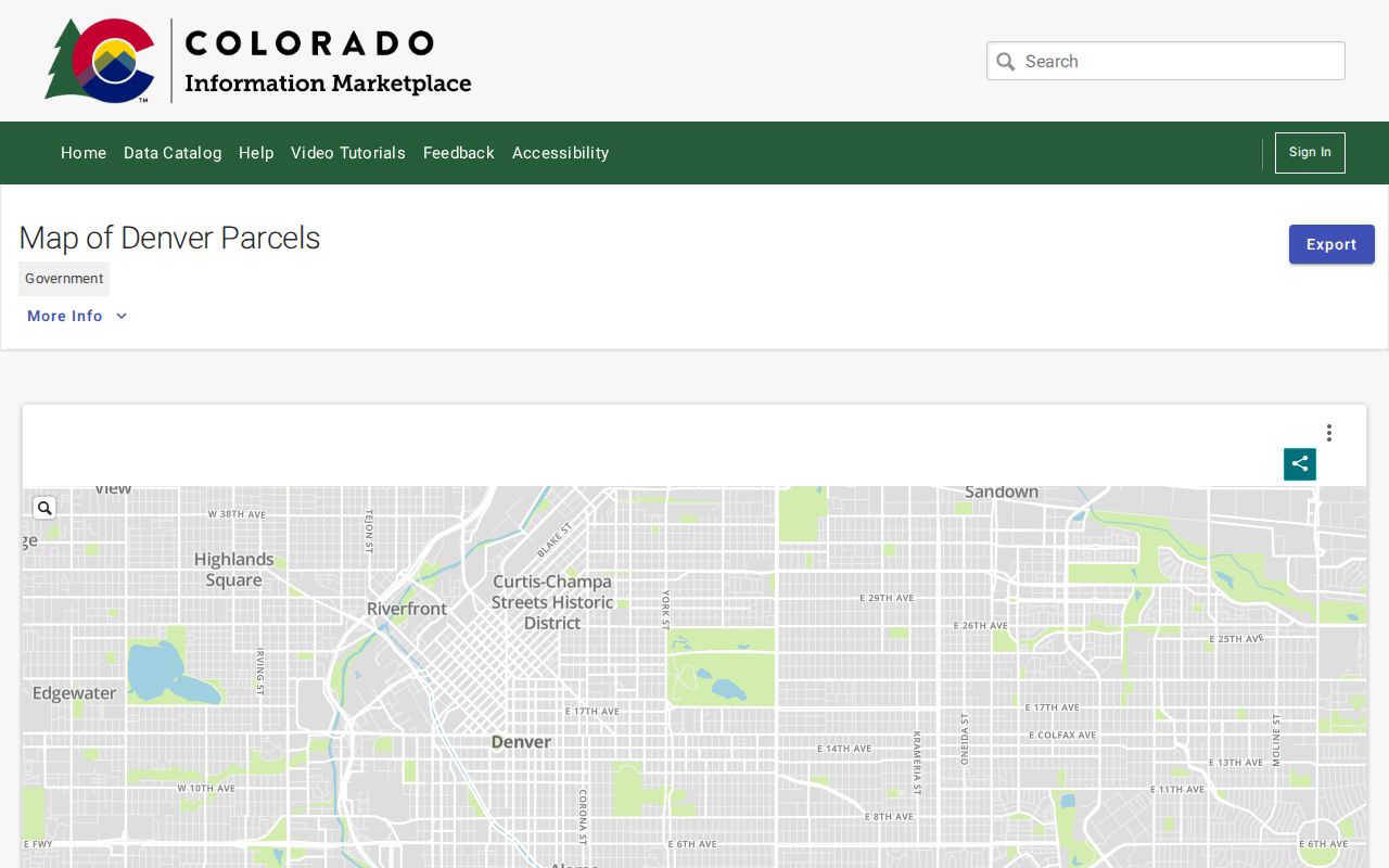
The open-data view reinforces that parcel geometry is a separate layer from people evidence.
Denver Street Reception Numbers Build Deed Chains
CountyFusion turns each parcel's name trail into a recorded-document trail. Start with the current owner or printed entity name, then match results by legal description, subdivision, block, lot, parcel and recording date. A corporation, trust, estate or condominium association may be the recorded party. Preserve that role instead of translating every grantee into a resident.
The live search supports names, party type, name options, recorded-date range, document type, document number, book/page and historical grantor/grantee index groups split into 1859-1953 and 1954-1986. A sample row can show reception number, party type, names, instrument type, recorded date and image or verification indicators. A reception number is a unique tracking key. If an image is not present, contact recording@denvergov.org with it.
The Denver CountyFusion entry is the direct recorded-document search route.
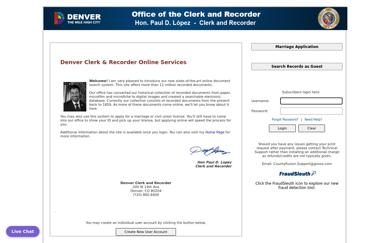
The CountyFusion capture places the reception and grantor/grantee mechanics at the center of a by-address document trail.
- Save the parcel schedule number, legal description, current owner and capture date.
- Search the owner or grantee name, using the printed entity spelling and alternate forms.
- Match a likely deed by legal description, parcel, block and lot, not by a common street string alone.
- Use the earlier grantor or prior grantee to move backward, marking releases, liens, plats and trustee records separately.
- Request paper retrieval or a certified copy when a missing image blocks the chain.
Denver Street Permits and Address Cases
Denver Accela adds a city record layer to an address search. Its search groups include Record Number, Record Type, Record Name, Start Date, End Date, Street No., Direction, Street Name, Street Type, Unit Type, Unit No., Parcel No., City, State and ZIP. Search and Clear controls are visible, and percent signs can broaden a term. The date means record-created date, not necessarily completion or issue.
Issued permit PDFs can appear under Record Info and Attachments. The landing page describes business, occupational and public-health records, so a result may concern a permit, review, case or facility rather than a person at the address. Payment or invoice actions can require an account. Use parcel and street fields to tie a city record to the map, then label the result by its exact record type.
In-person and phone fallbacks remain important. The city agency directory can identify the right custodian, 311 can route a public question, and a CORA request can seek an existing record when the portal does not show the needed attachment.
Translate Denver's Old Street Grid
Denver street numbers can change the result of a historical street directory search. The 1887 system uses Broadway and Ellsworth as a reference point and describes 100 numbers per block with directional even and odd rules. DPL's street-change material identifies a major downtown numbering change in 1887 and street-name changes in 1897 and 1904.
The Denver street-number history is the source for the Broadway and Ellsworth explanation.
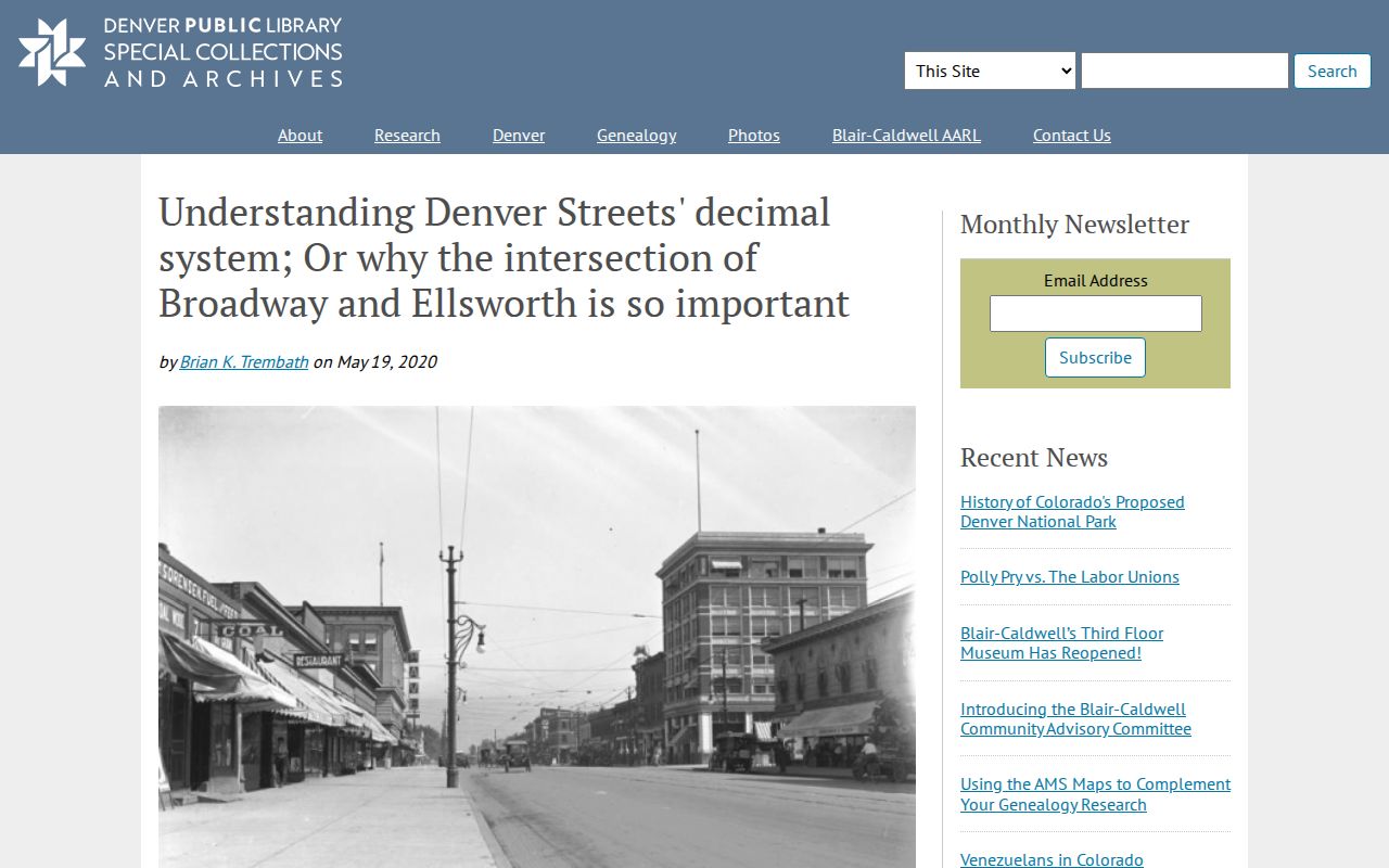
The street-history capture shows why an old address should be translated before it is compared with a current parcel.
When a number fails, search the old and new street names, the cross street, block and lot, legal description, map sheet and nearby owner names. A Sanborn sheet can resolve a building footprint or lot change. The Denver Maps catalog also exposes Addressing, Address Assignments, Apply for an Address and What is my Address routes, but the exact current assignment custodian and a citywide historic readdressing dataset were not located.
Denver Street Criss-Cross Between Deeds
Householder and criss-cross volumes fill the space between a deed party and a current parcel. Denver Public Library describes 1924-1937 householder directories and broader Polk or Criss-Cross holdings through 2018. Earlier city directories cover 1866-1923 holdings, with a 1873-1923 digital run identified by DPL. Search a printed address, note the volume and page, and treat the entry as a dated publication snapshot.
Pair the entry with a deed or assessor record. A householder may have been an occupant, while the deed names a title party and the mailing field names a correspondence destination. Spelling, street-number changes and missing years can create false matches. The historical collection details and entry-reading method are developed on the Denver city directory page.
Library research is a fallback channel, not a last resort. DPL's Western History and Genealogy request route asks for the subject, ZIP, contact details and resource choices. General requests generally take two to four weeks, and the library limits in-depth genealogy and copies.
Denver ZIP Inputs Have Street-Level Limits
A ZIP value on a record does not make a ZIP-wide street directory. The property portal exposes ZIPBASE in the result configuration but did not show a ZIP filter in the initial search. Accela accepts ZIP with street and parcel fields. Census ZCTAs are statistical polygons, while USPS gives the delivery ZIP for one exact address. The voter data route uses reports and date ranges, not a public ZIP roster.
Use the exact street and parcel first. If a ZIP points toward an edge area or an administrative code, verify it with USPS and separate city label, county boundary, parcel situs and delivery route. Street work starts after the geography is clear.
Limits of a Denver Street Directory
A street directory cannot show every household member, utility customer, delivery recipient, private association member, DMV address, or protected voter. A parcel may be vacant land, a right-of-way, a common element, a public parcel or a business site. An owner mailing address may be far from the situs. A public voter extract is dated and can omit protected records.
When the online trail stops, use the correct access channel: contact the assessor or Clerk and Recorder, request a missing image by reception number, ask the court or vital custodian under its own rules, send a focused DPL or State Archives request, or file CORA for an existing releasable record. Do not publish a speculative list of people along a street.
Lawful use. Denver street records support personal research, family history, civic curiosity and a documented house or parcel history. Do not use address records to stalk, harass, intimidate or harm another person.