
Denver ZIP Code Coverage
The Census 2020 TIGERweb ZCTA layer returned 53 areas intersecting Denver County. An intersection means the statistical polygon touches the county; it does not mean the full ZIP lies inside Denver or that every address in the polygon uses the same delivery route. The table is a county-intersection index. Verify a specific address with USPS.
| ZIP / ZCTA | Denver County area | USPS label city | Notes |
|---|---|---|---|
| 80002 | County intersection portion | Arvada | Adjacent-city ZCTA |
| 80010 | County intersection portion | Aurora | Adjacent-city ZCTA |
| 80011 | County intersection portion | Aurora | Adjacent-city ZCTA |
| 80012 | County intersection portion | Aurora | Adjacent-city ZCTA |
| 80014 | County intersection portion | Aurora | Adjacent-city ZCTA |
| 80019 | County intersection portion | Aurora | Adjacent-city ZCTA |
| 80022 | County intersection portion | Commerce City | Adjacent-city ZCTA |
| 80033 | County intersection portion | Broomfield | Label group crosses the county context |
| 80110 | County intersection portion | Englewood | Adjacent-city ZCTA |
| 80111 | County intersection portion | Englewood | Adjacent-city ZCTA |
| 80113 | County intersection portion | Englewood | Adjacent-city ZCTA |
| 80123 | County intersection portion | Littleton | Adjacent-city ZCTA |
| 80127 | County intersection portion | Littleton | Adjacent-city ZCTA |
| 80137 | County intersection portion | Bennett | Watkins is a local post-office example |
| 80202 | Denver County portion | Denver | Downtown and central county label |
| 80203 | Denver County portion | Denver | Central county label |
| 80204 | Denver County portion | Denver | Central and west county portion |
| 80205 | Denver County portion | Denver | North and east county portion |
| 80206 | Denver County portion | Denver | East and central county portion |
| 80207 | Denver County portion | Denver | East and northeast county portion |
| 80209 | Denver County portion | Denver | South-central county portion |
| 80210 | Denver County portion | Denver | South-central county portion |
| 80211 | Denver County portion | Denver | North and west county portion |
| 80212 | County intersection portion | Denver label group | Crosses a city or county boundary |
| 80214 | County intersection portion | Denver label group | Crosses a city or county boundary |
| 80216 | Denver County portion | Denver | North and east industrial or residential area |
| 80218 | Denver County portion | Denver | Central county portion |
| 80219 | Denver County portion | Denver | West and south county portion |
| 80220 | Denver County portion | Denver | East county portion |
| 80221 | County intersection portion | Denver label group | Crosses a city or county boundary |
| 80222 | Denver County portion | Denver | South-central county portion |
| 80223 | Denver County portion | Denver | South and west county portion |
| 80224 | Denver County portion | Denver | South and east county portion |
| 80226 | County intersection portion | Denver label group | Crosses a city or county boundary |
| 80227 | County intersection portion | Denver | County-edge area |
| 80230 | Denver County portion | Denver | East and Lowry-area portion |
| 80231 | Denver County portion | Denver | Southeast county portion |
| 80232 | County intersection portion | Denver label group | Crosses a city or county boundary |
| 80235 | Denver County portion | Denver | Southwest county portion |
| 80236 | Denver County portion | Denver | Southwest county portion |
| 80237 | Denver County portion | Denver | Southeast county portion |
| 80238 | Denver County portion | Denver label group | East and northeast county portion |
| 80239 | Denver County portion | Denver | Northeast county portion |
| 80246 | County intersection portion | Denver | Denver and Glendale edge context |
| 80247 | County intersection portion | Denver | County-edge ZCTA |
| 80249 | Denver County portion | Denver | Northeast county portion |
| 80264 | Denver County portion | Denver | Unique or administrative-style use |
| 80266 | Denver County portion | Denver | Unique or administrative-style use |
| 80290 | Denver County portion | Denver | Unique or administrative-style use |
| 80293 | Denver County portion | Denver | Unique or administrative-style use |
| 80294 | Denver County portion | Denver | Unique or administrative-style use |
| 80603 | County intersection portion | Brighton | Adjacent or edge ZCTA |
| 80642 | County intersection portion | Greeley | Statistical intersection, not a normal Denver route |
The coverage table uses Census intersections and USPS label groupings supplied by the research. It does not assign neighborhoods beyond the source description.
Postal ZIPs and Denver ZCTAs Differ
A postal code is a delivery routing label. A Census ZCTA is a statistical approximation built from postal geography. A county boundary is a legal geography. A city limit is a municipal geography. These can overlap without matching. The Census ZCTA layer is useful for the 53-area intersection, but it cannot verify the delivery ZIP for a single street address.
Denver Health's operational list includes additional administrative, unique and PO-box-style codes that do not appear in the 53-ZCTA query. Examples include 80201, 80208, 80217, 80225, 80243, 80244, 80248, 80250-80252, 80256-80257, 80259, 80261-80263, 80265, 80271, 80273-80274, 80279-80281, 80295 and 80299. Keep those codes separate from ordinary street-delivery geography.
The TIGERweb capture illustrates a statistical layer rather than a list of Denver residents.
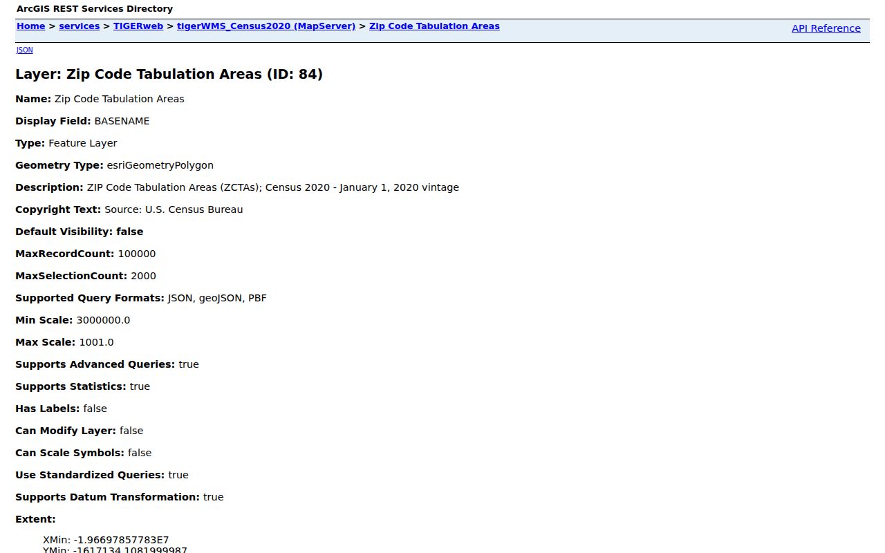
The map image helps separate postal geometry from a parcel or person record.
Verify One Denver ZIP Address
The USPS ZIP Lookup Tool supports address, city and state lookup and a cities-by-ZIP mode. Its result answers a delivery question. It does not confirm a person, organization or household at the address. The USPS label-list PDF inspected in the research was effective July 1, 2026 and groups destination labels that can look surprising near Denver County edges.
When a postal search points to an adjacent-city label, enter the full street address rather than trusting a map polygon. Keep the returned ZIP, city label, state and address text together. A Denver County parcel can have a mailing label associated with another municipality, while a Denver postal label can cross a county or city boundary.
The Denver Accela search shows the local address-and-ZIP record route.
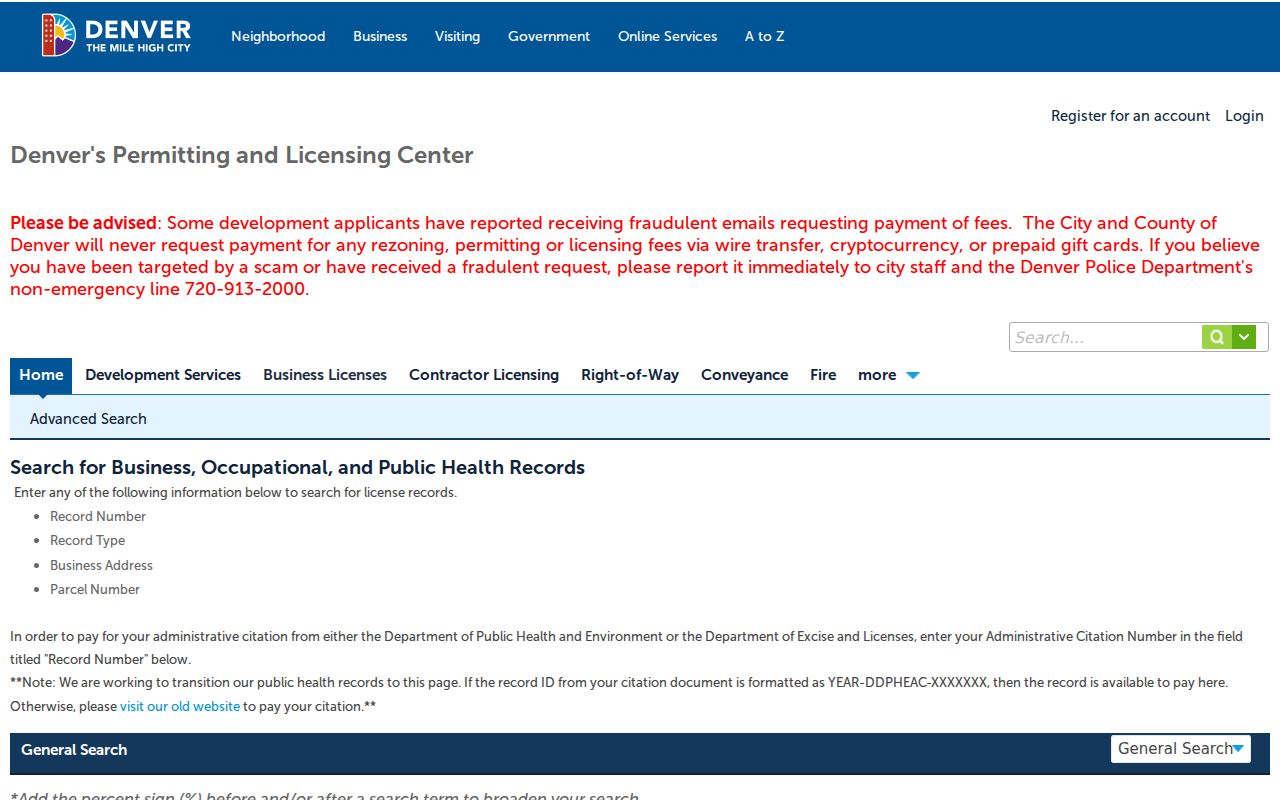
The Accela capture belongs beside the USPS result because a local record search and a delivery check answer different questions.
| Address lookup | Enter a street address with city and state to retrieve the delivery ZIP. |
|---|---|
| Cities by ZIP | Use a ZIP to view associated city labels; this does not map full city limits. |
| Output | Delivery ZIP and postal city context for the supplied address. |
| Limit | No person, ownership, parcel or occupancy confirmation. |
Denver Portals Accept ZIP Differently
ZIP-capable portals do not provide the same search. The Denver property interface did not expose a ZIP input in its initial configuration, although ZIPBASE can appear in a result header. The GIS parcel layer did not show a public ZIP filter. Accela includes ZIP with street and parcel fields. DORA uses ZIP for licensee or facility matching. Colorado voter data uses public extracts and date or county request fields rather than a self-service ZIP roster.
- Property ZIPBASE
- A result or header field that gives postal context after an address or parcel search.
- Accela ZIP
- One field among street number, direction, name, type, unit, parcel, city and state.
- DORA ZIP
- A license search field for a person or facility, not a parcel resident list.
- ZCTA
- A Census statistical polygon that approximates ZIP geography.
- ZIP+4
- An extended delivery code for a specific route or segment, not a county or neighborhood boundary.
A postal search should therefore explain the input mode before suggesting a portal. A ZIP-wide query may not exist, and a result set may be a permit, license, parcel or requested voter extract rather than a list of residents.
Find Denver Records Within One ZIP Code
Use a postal area as a narrowing clue, then return to the exact address or parcel for identity context. The following workflow keeps delivery geography and public-record fields distinct.
- Verify the full street address and delivery ZIP with USPS, including city and state.
- Run Denver Accela with street, parcel or ZIP fields when the question concerns a city record.
- Use the property portal by address or parcel and save ZIPBASE only as a result field.
- Use Census TIGERweb to understand the county intersection, not to name a person at a ZIP.
- Request public voter data through the Colorado SOS route only when the report, date, fee and confidentiality rules fit.
- Once the ZIP narrows the area, move to the Denver street directory for parcel-by-parcel work.
There is no official historical Denver ZIP split or realignment history in the inspected sources. A boundary change should be verified through the current USPS result, map layer and record date rather than inferred from a neighboring label.
Denver-Labeled and Edge ZIPs
Adjacent-city labels are the first surprise in Denver ZIP geography. The research names 80002 with Arvada, 80010, 80011, 80012, 80014 and 80019 with Aurora, 80022 with Commerce City, 80033 with Broomfield, 80110, 80111 and 80113 with Englewood, 80123 and 80127 with Littleton, 80137 with Bennett, 80603 with Brighton and 80642 with Greeley. These are ZCTA intersections or label groups, not claims that the entire ZIP sits in Denver County.
Denver-labeled codes can still cross a county or municipality edge. Codes such as 80212, 80214, 80221, 80226, 80232, 80238, 80246 and 80247 need exact-address verification. A map should not turn a postal city into a legal city limit.
Denver Unique and Administrative ZIP Codes
Codes 80264, 80266, 80290, 80293 and 80294 appear in the Census intersection table with unique or administrative-style notes. Denver Health's broader operational list adds many supplemental codes. Such a code may serve a PO box, institution, agency or administrative route. It may have no ordinary residential street area to map.
The correct use is narrow. Verify an address through USPS, label the code as unique or administrative when the source does, and do not use it to infer a neighborhood or list people. If a local portal accepts the code, read the record type and date before treating the result as a geographic match.
ZIP Boundaries Versus Denver Limits
ZIP boundaries do not have to follow Denver's city or county limits. A ZCTA can touch the county while carrying an adjacent-city label. A property parcel can have a Denver situs and an owner mailing address elsewhere. A Denver Health operational list can contain codes that are absent from a Census ZCTA intersection. The layers answer different questions.
Geography check. Keep four fields beside one another: physical situs, county or municipality, USPS delivery city, and ZIP source. None of those fields alone is a resident directory.
A ZIP lookup is most accurate when it sends street-level work to the parcel map and uses USPS for the final address check. No official historical ZIP realignment history was located, so a dated postal result is safer than a guessed change year.
Denver Address History Still Matters
ZIP geography does not erase Denver's street-history problem. The 1887 decimal system, Broadway and Ellsworth reference point, and street-name changes in 1897 and 1904 can make an old address appear unmatched. When a historical ZIP or directory clue is involved, preserve the printed number, old street name, cross street, block or lot and legal description. Then compare the current parcel and USPS result.
This final bridge keeps the ZIP search from overpromising. A postal code narrows geography. A parcel identifies a mapped unit. A directory year places a printed name. A deed or probate file supplies a dated record party. Each layer should keep its own meaning.